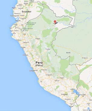
Maps of Iquitos and Weather of Iquitos
Map of Iquitos City
Distances to Iquitos - Loreto, Peru:
From |
Distance |
Duration by Air |
Duration by River |
627 miles (1,009 Km) |
1h 55' |
|
|
Pucallpa |
615 miles (990 Km) by river |
1 hour |
4 to 7 days |
Caballococha |
192 miles (311 Km) by river (frontier with Colombia and Brazil) |
1 hour |
2 days |
Distance from Iquitos to:
-
Yurimaguas (Province of Alto Amazonas) 388 Km (241 miles) / 4 days by boat.
-
Nauta (Province of Loreto) 115 Km (71 miles) / 2 hours by bus or 14 hours by boat.
-
Caballococha (Province of Mariscal Ramón Castilla) 311 Km (193 miles) / 2 days by boat.
-
Requena (Province of Requena) 157 Km (98 miles) / 19 hours by boat.
-
Contamana (Province of Ucayali) 431 Km (268 miles) / 3 days by boat.